
Precision Aerial Application for Agriculture, Property & Vegetation Management
Jay-Bird’s Precision Ag provides precision drone application and site-specific support across Northeast Ohio. From larger row-crop acreage to pastures, ponds, turf, industrial sites and difficult-to-access properties, each job is evaluated individually to determine the safest and most effective approach.
Our goal is simple: accurate application, responsible product use, careful documentation and dependable service.
What We Offer
Row Crops & Agricultural Applications
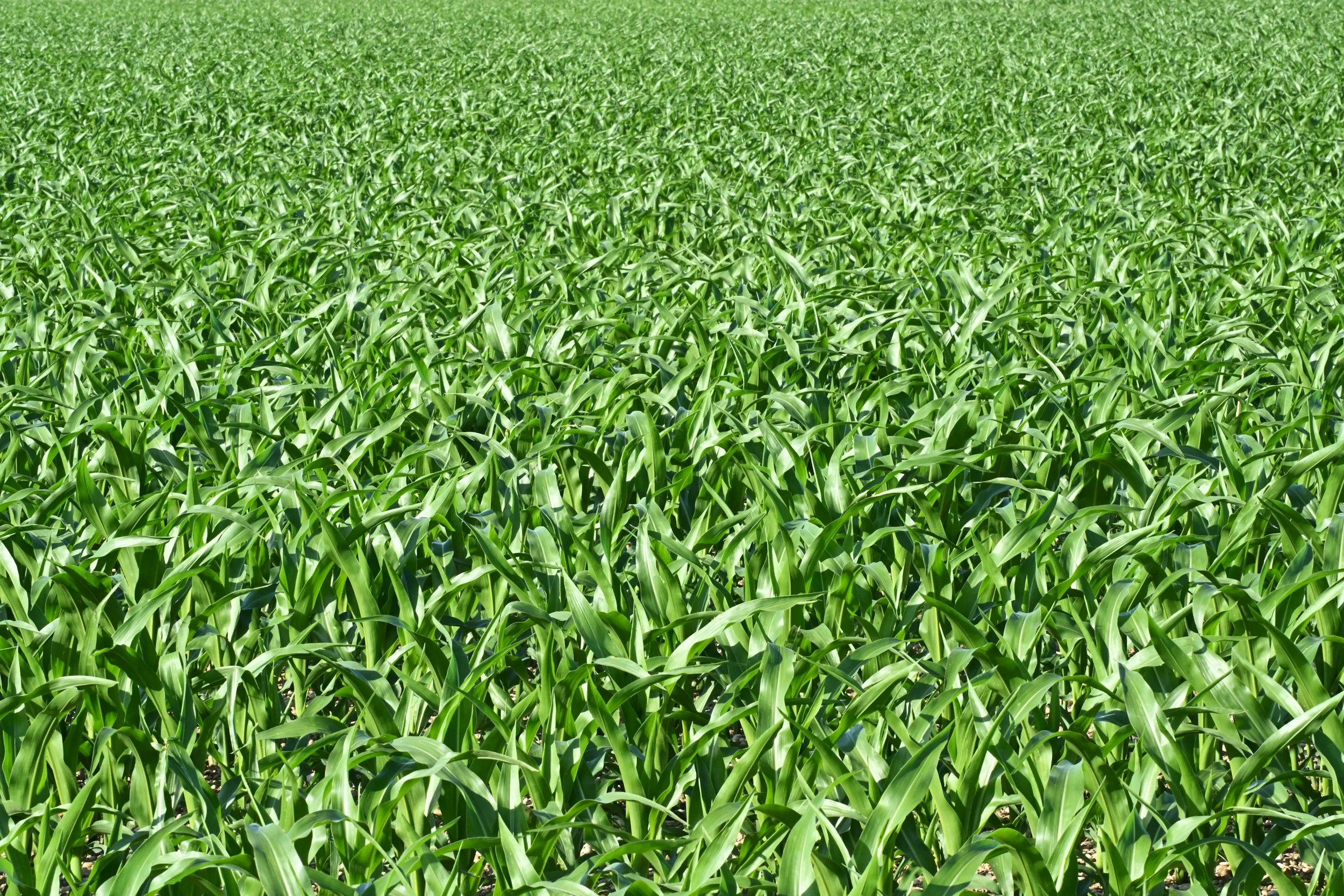
Precision aerial application for corn, soybeans, wheat and other agricultural acreage where timing, coverage and field access matter.
Drone application can provide an effective option for both larger production acreage and smaller fields, particularly when wet ground, crop height or field conditions make conventional equipment difficult or damaging to use.
Potential applications include:
Herbicides
Fungicides
Insecticides
Foliar nutrients
Biological products
Cover crop and granular applications where appropriate
Rescue and late-season applications
Pasture Hay & Forage
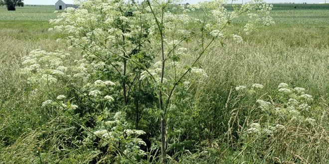
Application and site assessment for established pasture, hay ground and forage acreage. Jay-Bird’s can assist with weed management, pasture renovation planning, fertility observations and targeted treatment of problem areas while avoiding unnecessary wheel traffic across the field. Ideal for:
Broadleaf weed control
Spot and variable treatment
Pasture renovation
Hay-field applications
Wet or soft ground
Irregular acreage
Difficult terrain
Aquatic & Shoreline Vegetation
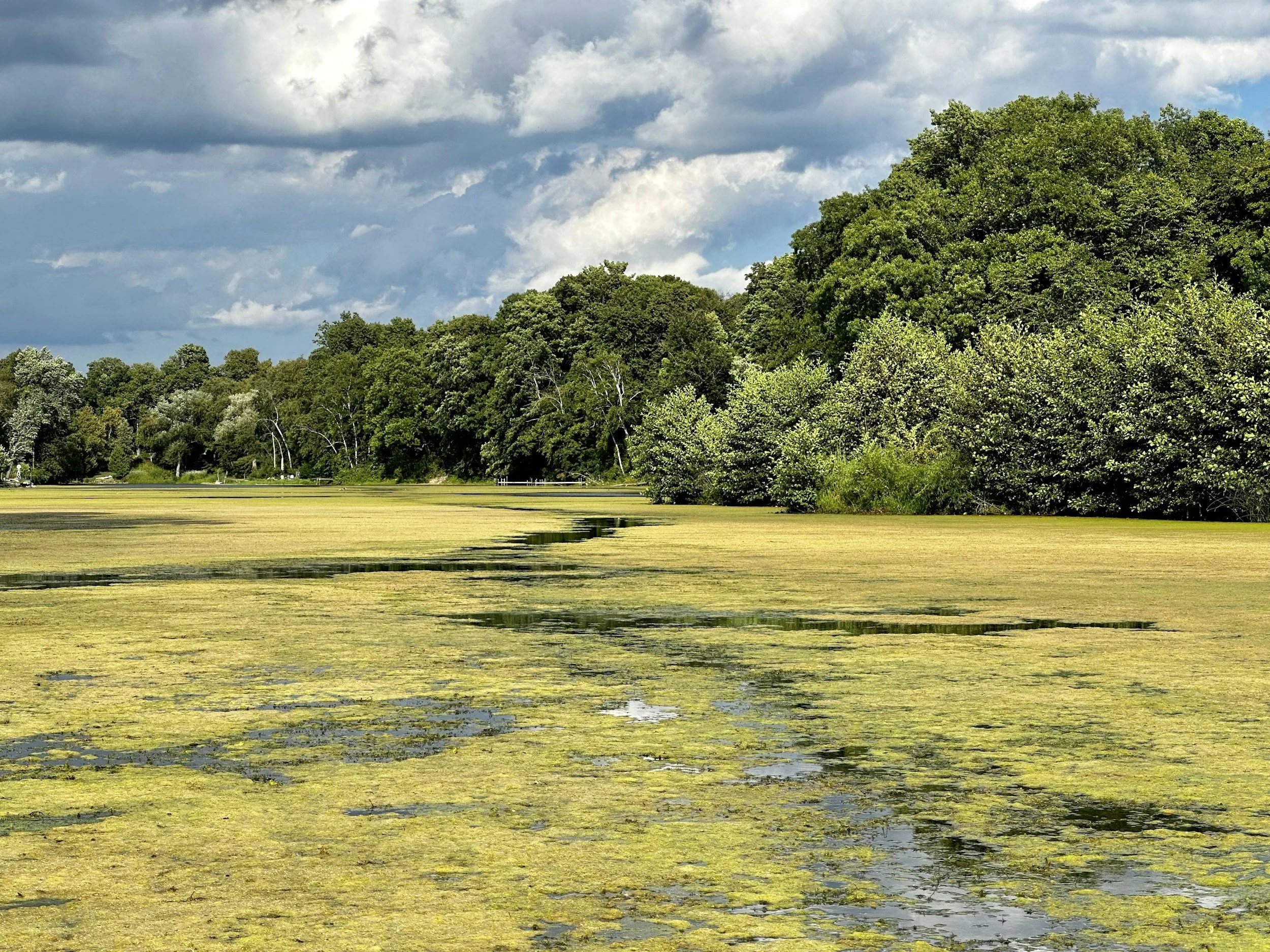
Targeted vegetation-management services for ponds, shorelines and other aquatic environments where conventional equipment may have limited access.
Potential projects include management of unwanted aquatic or shoreline vegetation in farm ponds, retention ponds, golf-course ponds and managed water features.
Applications are performed only where the product label, site conditions and applicable regulatory requirements allow.
Industrial & Invasive Vegetation Management
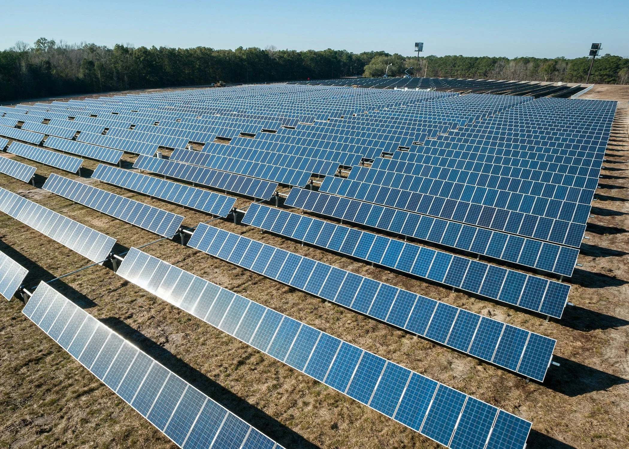
Precision treatment for unwanted vegetation in areas where access, terrain or nearby infrastructure makes traditional equipment inefficient.
Potential sites include:
Industrial properties
Utility and right-of-way areas
Solar facilities
Fence lines
Drainage areas
Storage and equipment yards
Invasive-species projects
Steep or inaccessible terrain
Turf, Grounds & Specialty Properties
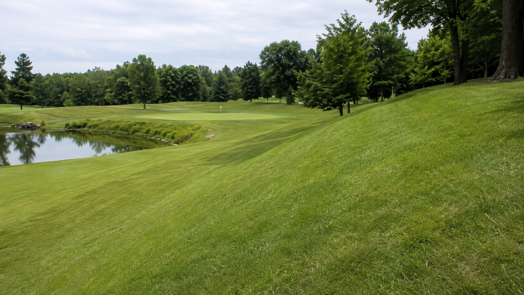
Drone application can provide another tool for managing larger turf and landscaped properties without repeatedly driving heavy equipment across the site.
Potential customers include golf courses, commercial properties, institutional grounds, municipalities and large private properties.
Applications may include turf pest management, vegetation control, difficult slopes, native areas and other site-specific treatments.
Precision Scouting & Site Assessment
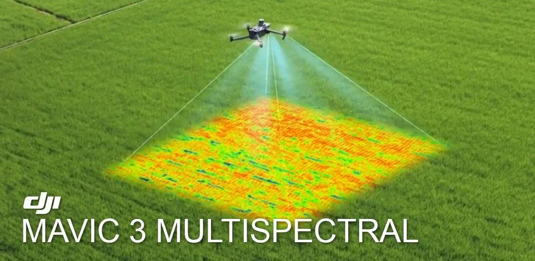
Application starts with understanding the site.
Jay-Bird’s can document field and property conditions using aerial imagery, photographs and site observations to help identify variability, problem areas and opportunities for targeted treatment.
Services can support:
Crop and vegetation scouting
Before-and-after documentation
Field variability assessment
Multispectral analysis
Prescription application planning
Treatment follow-up
Damage documentation
Not Every Job Needs the Same Approach
Some projects involve hundreds of acres. Others involve a few difficult acres that conventional equipment simply cannot reach efficiently.
Jay-Bird’s is equipped to evaluate both.
Whether you manage row crops, pasture, commercial property, turf, water resources or difficult vegetation, we’ll evaluate the site and determine whether precision aerial application is the right tool for the job.